About
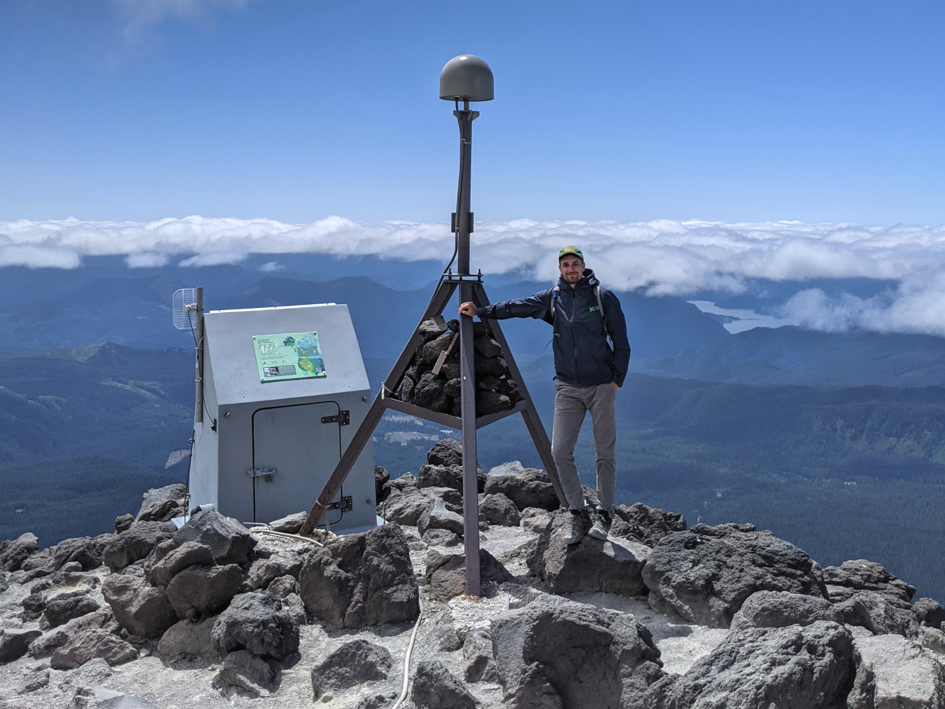
Dr. Kyle Murray received his PhD in 2020 in geophysics from Cornell University's Earth and Atmospheric Sciences department. He continues his research at the University of Hawaii working on various projects, including a collaboration with the Sea Level Center in the Oceanography department. His research focus is on developing data-driven methods to accurately measure and map the Earth's response to changing conditions. To learn more about his past and current projects, please explore the research page.
EDUCATION
Ph.D. Geophysics, Cornell University
M.S. Geophysics, New Mexico Tech
B.S. Geology, Montana State University
Research
Kyle D. Murray’s research has focused broadly on the following topics:
1. Intracontinental tectonics/continental rifting
2. Relative sea level rise on the Hawaiian islands
3. Geodetic data processing and time series analysis
4. Spatio-temporal evolution of groundwater constrained by geodetic methods
5. Atmospheric modeling for noise reduction and characterization in InSAR
Relative sea level rise
Murray's current research is aimed at using geodetic data to better quantify recent relative sea level rise in Hawaii. The majority of research targeting sea level rise has been on atmospheric/climate variability, ocean science, and glaciology, which are important for understanding absolute changes in sea level. However, if we want to understand how those changes will affect our coastlines and communities living on them, it is also important to quantify potential changes in coastal elevations.
Continental Rifting
Murray's postdoctoral work focused on the East African Rift. The objective of this project was to identify strain concentrations across the central section of the rift by combining continuous GPS measurements with InSAR to better constrain tectonic, volcanic, and anthropogenic-related deformation. The scale of the data used in this project has required the implementation of cloud-based computational methods and development of more streamlined/automated processing methods. His master’s work focused on the slowly deforming Rio Grande Rift and Colorado Plateau. The objective of this project was to identify strain concentrations across the rift with continuous GPS measurements to better constrain rift dynamics. This area is extending at an average rate of about 1 mm/yr, requiring special attention to data processing, noise characterization, and time series analysis methods. Among other outcomes of this project, he and his collaborators produced precise strain rate maps showing several areas of strain localizations and updated our current understanding of active deformation in the area with implications for both rift kinematics and hazards.
Groundwater/Anthropogenic related crustal deformation
Murray has studied Southern California and the Central Valley of California where excessive groundwater extraction has resulted in widespread large magnitude ground subsidence. He characterized the spatiotemporal evolution of groundwater-related deformation addressing the complex aquifer response to extraction, drought, and natural and artificial recharge. Furthermore, he worked on a collaborative project that combined multiple satellite look geometries to invert for 3D displacement time series constrained by elastic Green’s functions. This was applied to an area of groundwater entrainment in the Coachella valley which has resulted in rapid uplift bounded by active faults. This has implications for understanding of fault permeability, how the associated stresses are acting on nearby faults, and aquifer properties.
Tropospheric noise in InSAR
A major focus of Murray’s PhD was on InSAR methods and applications. This includes software development for improved InSAR time series processing to improve interferometric coherence and noise mitigation. More specifically, he has worked on improving methods for characterizing and removing the tropospheric delay component in InSAR. For this he has worked with numerous datasets and modeling techniques to compare the efficacy of current methods, as well as metrics to evaluate them. Furthermore, has worked on developing machine learning-based tools to better relate external datasets to InSAR tropospheric phase delays. These methods are being tested on anthropogenic deformation and induced seismicity in the Central US, as well as slow slip deformation in south-central Mexico.